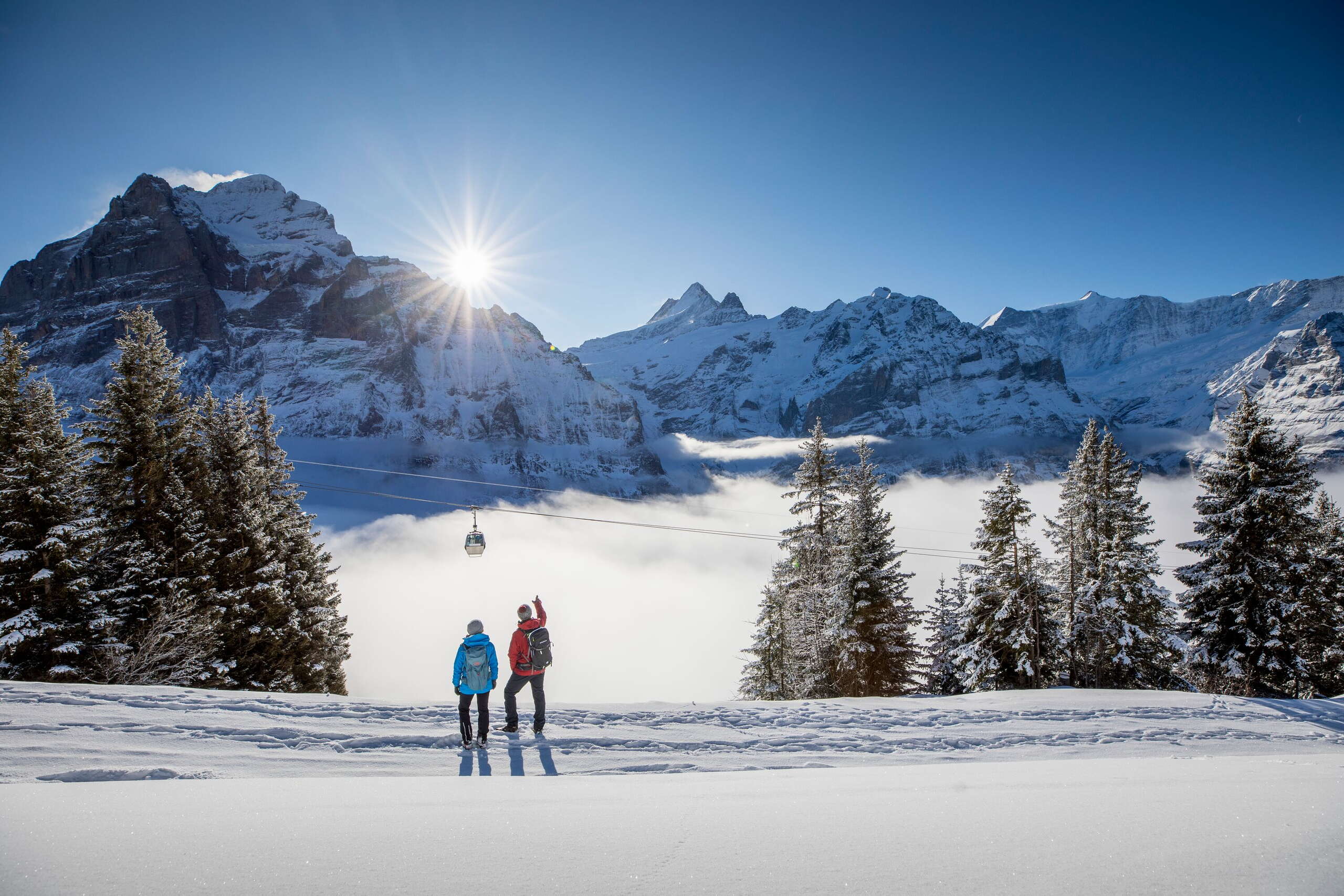
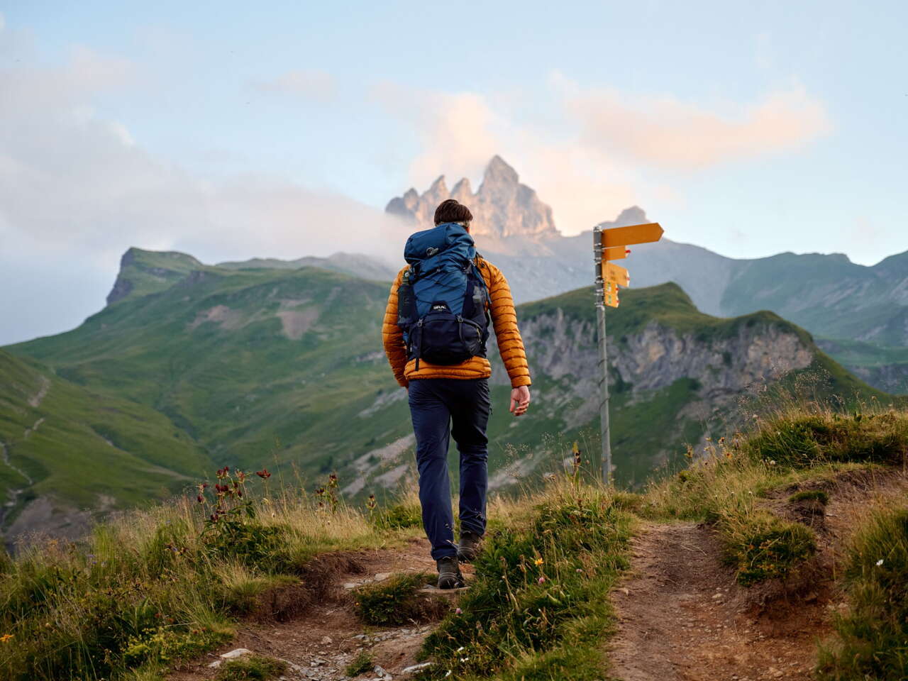
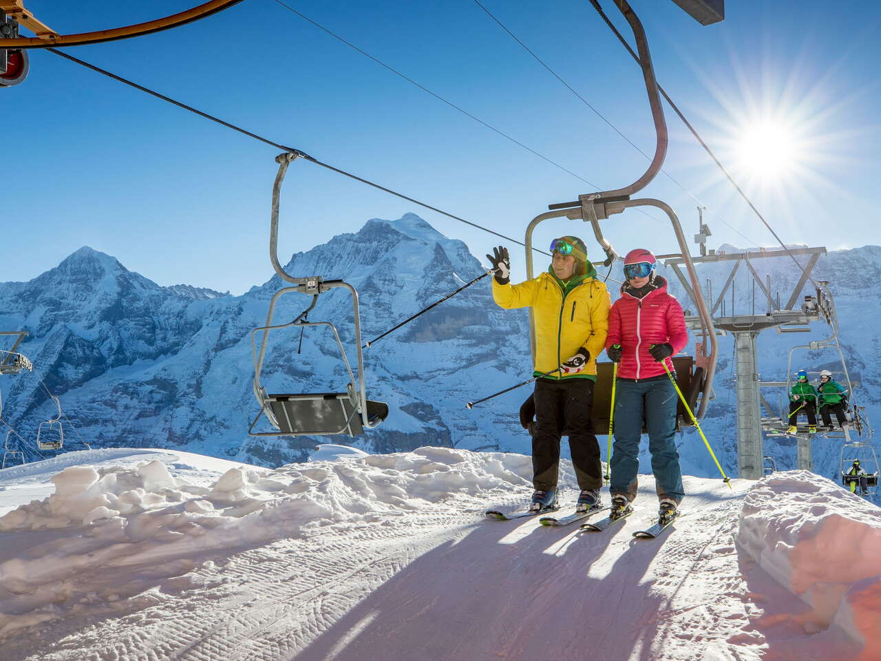
Here you will find all the maps you need to explore Mürren in summer or winter, whether you’re hiking, trail running or exploring another way.
Summer maps
Hiking trails, trail runs and mountain bike routes
Here you will find all the maps for summer activities in Mürren and Gimmelwald. You are sure to find them useful before and during your planned activity.
Winter maps
Ski slopes, sledging runs and hiking trails
Get to know the ski runs, slopes and trails around Mürren and find out what winter has to offer here. Just check out our winter maps.
Local maps
Two mountain villages
The local maps of Mürren and Gimmelwald will help you find your way around our two mountain villages quickly and easily.


