HIKING ROUTES
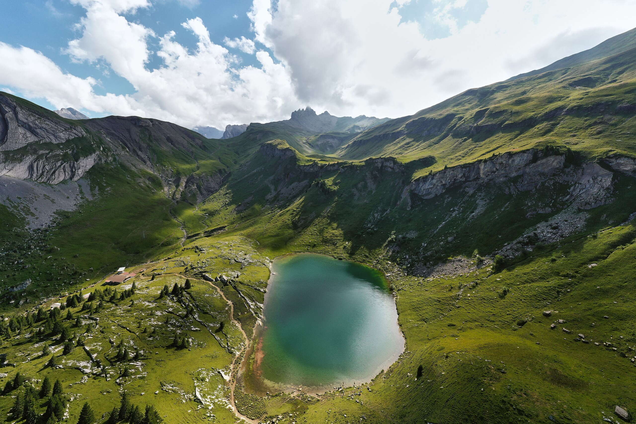
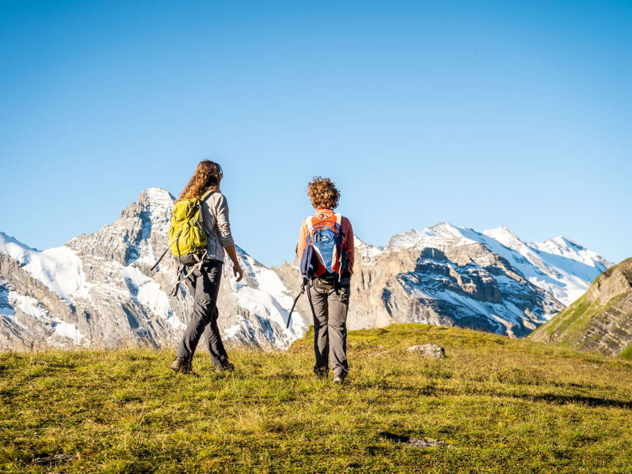
Hiking experiences
Here you will find all the maps you need for your hiking adventures in the Schilthorn region. In addition to the traditional route suggestions, the maps also show various themed trails – perfect for a family outing.
CYCLING AND MOUNTAIN BIKING TOURS
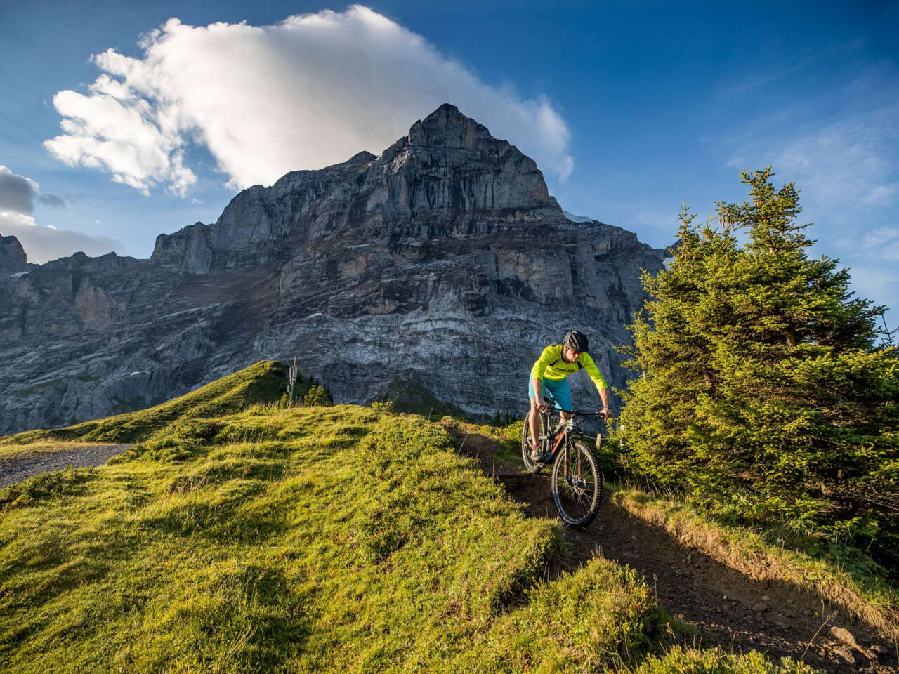
Get out and about on two wheels!
Due to their topographical location, the bike trails in Mürren and Gimmelwald are more suitable for intermediate to advanced mountain bikers. Check out our top tips.
STATUS OF FACILITIES
Careful planning
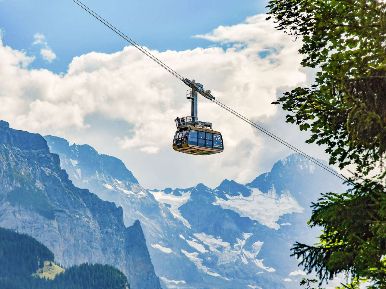
Is the aerial cableway running? Is it possible to take the route I want to take right now? Check the overview maps to find out what is open and what is not.


